Last updated: 2026-06-24
Boston Map Poster
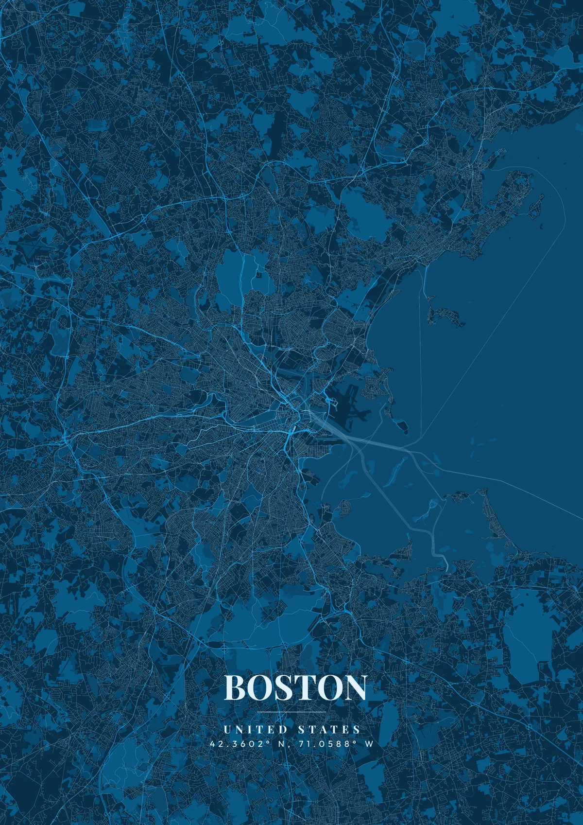
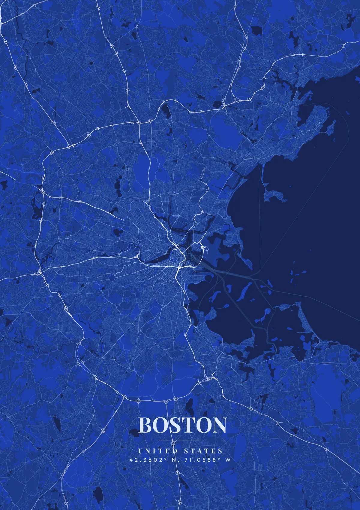
Boston boasts one of the most unique cartographic layouts in America. Unlike the rigorous grids of younger cities, Boston's downtown streets follow colonial cow paths from the 1600s, creating a beautifully chaotic, organic web. This ancient tangle is sharply contrasted by the Back Bay neighborhood to the west, an area entirely reclaimed from the Charles River featuring a perfectly ordered 19th-century grid.
Boston on the map
A custom map poster of Boston, United States turns a meaningful location into personalized wall art — completely free with MapPoster.
The wide expanse of the Charles River separating Boston from Cambridge, paired with the massive green rectangle of the Boston Common in the very center of the city, anchors the map visually. Highlighting the jagged coastline of the harbor islands plunging into the Atlantic provides incredible texture. Deep brick reds, historic colonial blues, or warm parchment tones are the ultimate choice for honoring this profoundly historic city.
Frequently Asked Questions
Is the Boston map poster really free?
You can design and download a Boston map poster at 1080p with a small watermark at no cost. High-resolution versions (up to 7200px) without watermark are a one-time $4.99. No subscription or account required.
What themes are available?
MapPoster has 50+ themes: 5 tile-based (classic, dark, minimal, voyager, satellite) and 45+ artistic vector styles. Artistic themes render every road and waterway in custom color palettes — from moody dark tones to bright pastels.
Can I customize the colors and style of my Boston poster?
Yes. Pick from 50+ themes, then adjust the color palette, text overlay, fonts, and layout. You can add a title, subtitle, date, and GPS coordinates for Boston. Everything is adjustable in the editor before you download.
What file formats can I download?
Standard downloads are PNG at 1080p. The $4.99 high-resolution export unlocks up to 7200px in PNG, JPEG, WebP, PDF, and SVG — all at 300 DPI for print.