10 Most Beautiful Cities to Turn Into Map Art
Some cities just look incredible on a wall. Their street grids, coastlines, rivers, and neighborhoods create natural works of art — you just need to frame them the right way.
If you're thinking about making a custom map poster but aren't sure which location to start with, this list will help. These ten cities are some of the most visually striking places on Earth when rendered as map art, and each one works best with a specific style and color palette.
1. Paris, France
Paris was practically designed to be a poster. The city radiates outward from its center, with grand boulevards cutting diagonal lines through tight neighborhood grids. The Seine curves through the middle, giving every map a natural focal point.
Best style: Minimal — the clean lines let the boulevard structure shine. The contrast between the wide avenues and dense side streets creates a rhythm that's almost hypnotic.
Color suggestion: White background with dark gray streets, or navy background with gold lines for a classic Parisian feel.
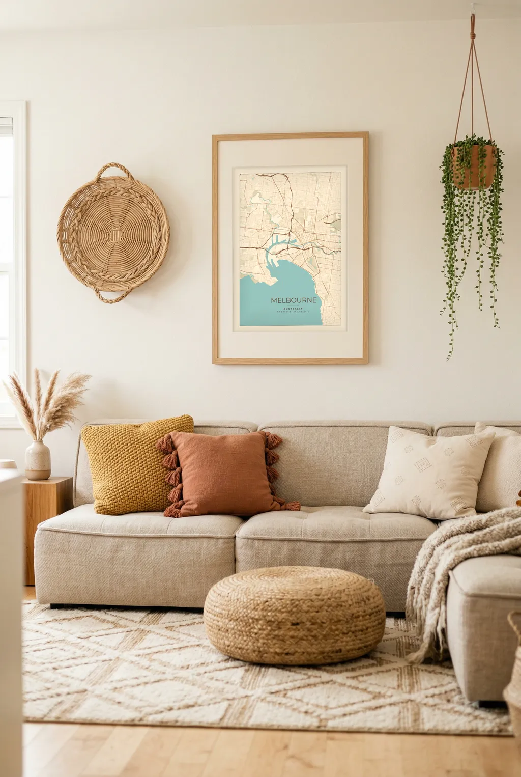
Text idea: PARIS / 48.8566° N, 2.3522° E
2. Tokyo, Japan
Tokyo's map is a beautiful contradiction. There's no grid. Streets curve and twist around each other in organic patterns that feel almost biological. The result is a map that looks completely different from any Western city — dense, intricate, and endlessly detailed.
Best style: Dark — white lines on a black background turn Tokyo's complexity into something that looks like a circuit board. It's mesmerizing at any zoom level.
Color suggestion: Pure black background with white streets. Let the density do the talking.
Text idea: TOKYO / 東京
3. New York City, USA
Manhattan's grid is one of the most recognizable street layouts in the world. The rigid parallel lines of the avenues, interrupted by the diagonal slash of Broadway and the organic shape of Central Park, create a composition that's instantly readable.
Best style: Minimal — the grid is the star here. A clean render at a zoom level that captures all of Manhattan from Battery Park to Harlem gives you the full effect.
Color suggestion: Black and white is the obvious choice, and it works perfectly. For something warmer, try a cream background with charcoal streets.
Text idea: NEW YORK / The City That Never Sleeps
4. Amsterdam, Netherlands
Amsterdam's canal rings create concentric semicircles that make for one of the most distinctive city maps in the world. The pattern is immediately recognizable — even people who've never visited can spot it.
Best style: Watercolor — the softer edges complement the flowing canal shapes. The organic feel of watercolor matches the character of a city built around water.
Color suggestion: A muted blue-green palette brings out the canals without overwhelming the street detail. Or go dark with teal water on a navy background.
Text idea: AMSTERDAM / The Netherlands
5. Rome, Italy
Ancient roads don't follow straight lines. Rome's map is a tangle of narrow streets that spiral around historic landmarks, punctuated by large open piazzas. It's chaotic in the best possible way — every section of the map tells a different story.
Best style: Minimal with warm tones — Rome feels timeless, and the map should too. A warm color palette gives it an almost antique quality.
Color suggestion: Warm cream or parchment background with terracotta or burnt sienna streets. It feels like something you'd find in an old Italian study.
Text idea: ROMA / Città Eterna
6. Barcelona, Spain
Barcelona has one of the most photogenic street grids ever designed. The Eixample district's octagonal blocks create a repeating pattern that looks almost like tile work from above. Add in the old Gothic Quarter's medieval streets and the waterfront, and you've got a poster with incredible variety.
Best style: Satellite for the full visual impact of those octagonal blocks, or Minimal if you want a cleaner look that still shows the grid pattern.
Color suggestion: Mediterranean blue and white for a coastal feel, or golden tones for warmth.
Text idea: BARCELONA / 41.3874° N, 2.1686° E
7. London, England
London is a patchwork of villages that grew together over centuries. The Thames cuts a dramatic path through the center, and the mix of ancient streets and modern developments creates a map with incredible texture. You can pick out Hyde Park, the City, and the river bends at a glance.
Best style: Dark — London's complexity works beautifully with light lines on a dark background. The Thames becomes a dramatic negative space that anchors the whole composition.
Color suggestion: Deep charcoal background with cream streets and a subtle blue for the Thames. Or go full contrast with black and white.
Text idea: LONDON / United Kingdom
8. Istanbul, Turkey
Very few cities in the world sit on two continents. Istanbul's map captures this perfectly — the Bosphorus strait slicing between Europe and Asia, with the Golden Horn creating a second dramatic waterway. The result is a map that's as much about water as it is about land.
Best style: Dark or Satellite — you want the water to stand out. The contrast between the dense city fabric and the wide waterways is what makes this map special.
Color suggestion: Deep navy background with gold or amber streets. The Byzantine-inspired palette feels right for a city with this much history.
Text idea: ISTANBUL / Where East Meets West
9. San Francisco, USA
San Francisco is a city defined by its geography. The peninsula, the bay, the Pacific coast, the Golden Gate — the water shapes everything. Add in the famously steep street grid and you get a map that's packed with character and instantly recognizable.
Best style: Minimal — the peninsula shape is so distinctive that a clean, simple render is all you need. The contrast between the tight street grid and the surrounding water does the work.
Color suggestion: White background with dark streets and a soft blue for the bay. Or flip it: dark background with white streets for a more modern look.
Text idea: SAN FRANCISCO / California
10. Cape Town, South Africa
Table Mountain, the Atlantic coastline, and the harbor make Cape Town one of the most geographically dramatic cities on Earth. The map captures a place where urban development meets raw natural landscape — roads curve around mountains and follow the coast rather than cutting through on a grid.
Best style: Satellite — Cape Town's natural beauty is a huge part of its identity. The satellite view captures the contrast between the green slopes of Table Mountain and the blue Atlantic in a way that no other style can.
Color suggestion: Let the satellite imagery speak for itself. The natural greens, blues, and earth tones create a poster that's as much landscape art as it is cartography.
Text idea: CAPE TOWN / South Africa
How to Pick Your City
You don't have to choose from this list. Any place that means something to you will make a great poster. But if you're looking for pure visual impact, keep these principles in mind:
- Cities with water (rivers, coastlines, canals) tend to produce the most dynamic maps. Water creates natural contrast and gives the eye a place to rest.
- Dense, old cities with organic street patterns create more visual texture than modern grid cities.
- Grid cities work best when there's something that breaks the pattern — a diagonal boulevard, a park, a waterfront.
- Zoom level matters. Some cities look best zoomed out to show the full shape. Others are more interesting at the neighborhood level.
Make It Yours
Head to MapPoster, search for any of these cities (or your own favorite), and try different styles. You'll know the right combination when you see it. The whole process takes about two minutes, and you can experiment with as many cities as you want before downloading.
The best city map poster isn't necessarily the most famous city. It's the place that makes you feel something when you see it on your wall.